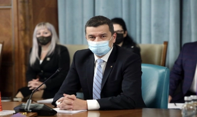
Minister of Transport Sorin Grindeanu announced that an app will be made available to those interested, starting with Sunday, with the green transit corridors for the refugees from Ukraine on the Romanian territory.
"As of today, we are making available to those interested an app that presents the green transit corridors for the refugees from Ukraine, on the Romanian territory. The data are provided in Romanian, English and Ukrainian, for the railway, road and air transport means. Through this application, the refugees who want to transit Romania can choose the most efficient routes," the Minister of Transport wrote on Facebook on Sunday.
The app was developed by CESTRIN, the unit coordinated by the Ministry of Transport, in collaboration with the the National Center for Intervention Coordinationand Management and the General Inspectorate of Police.
The app can be accessed at the link: https://cestrin.maps.arcgis.com/ap/webappviewer/index.html.
In a later post on the social network, Grindeanu presented the interactive map showing the transit corridors for Ukrainian refugees to Romania's neighboring states (Hungary, Serbia and Bulgaria) and which can be accessed via a QR code or the following short link: https://bit.ly/37kkKPf.
"The app provides information on: road transit corridors (16 corridors), railway corridors (7 corridors), divided by country of destination, border crossing points, international civil airports, gas stations (approximately 600), parking lots (approximately 1,750), service areas for each corridor (over 50), railway stations (about 250), connections to airports close to customs points of interest at the moment (13 corridors). Information can be selected by the associated check mark to improve the visualization of the data according to of the user's interest," said the Romanian Minister of Transport.


Comentează